USGS Releases New Oil and Gas Assessment for Southwestern Wyoming
New report outlines major untapped oil and gas reserves in Wyoming’s Mowry system.
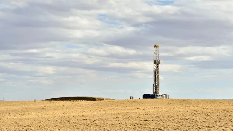
A new U.S. Geological Survey (USGS) assessment has identified significant untapped oil and gas resources in the Mowry Composite Total Petroleum System, which spans parts of southwestern Wyoming, northeastern Colorado, and eastern Utah. According to the report, the region contains an estimated 473 million barrels of undiscovered oil and 27 trillion cubic feet of technically recoverable natural gas.
“This new USGS assessment underscores the role of American energy resources in strengthening our energy independence and driving economic development across the West,” said Secretary of the Interior Doug Burgum in a statement. “Public lands in Southwestern Wyoming hold significant potential, and this science-based evaluation provides critical data to help inform responsible resource management.”
The Mowry Composite system includes several geologic formations, such as the Dakota Sandstone, Muddy Sandstone, Mowry Shale, and Frontier Formation. These formations were deposited in a shallow, prehistoric sea that once covered much of the Rocky Mountain region. Since the 1950s, these formations have yielded approximately 7.3 trillion cubic feet of natural gas and 90 million barrels of oil, according to the USGS.
“USGS energy assessments typically focus on undiscovered resources—areas where science tells us there may be a resource that industry hasn’t discovered yet,” said Acting USGS Director Sarah Ryker. “In this case, our assessment found substantial undiscovered, technically recoverable oil and gas resources.”
The USGS emphasized that this assessment is a technical resource, not a development mandate. The data is intended to inform land management decisions, including those made by agencies like the Bureau of Land Management (BLM), as well as provide context for potential exploration by private companies.
The USGS last assessed this region in 2005. The new assessment does not include estimates from other producing formations in the region, such as the Lance Formation, Lewis Shale, or the Mesa Verde Group—meaning the full resource potential of the area could be even higher.
The USGS has conducted oil and gas assessments since the 1970s, following the oil embargo that highlighted the need for better understanding of domestic energy reserves. These assessments continue to guide decision-making for both public agencies and the private sector.
Although the USGS assessment itself is strictly scientific, it enters a broader policy conversation about the role of fossil fuels on public lands. Advocacy groups and environmental organizations have historically raised concerns about expanded development in sensitive ecosystems, air and water quality impacts, and alignment with state and national climate goals. While no formal opposition to this assessment has been issued yet, debates over land use and energy policy in the region are ongoing.
Future development in the Mowry Composite system would depend on a mix of federal leasing decisions, permitting processes, market demand, and state-level regulations. As U.S. energy needs evolve, assessments like this one will continue to shape the discussion around where—and how—domestic production should expand.
Looking for a reprint of this article?
From high-res PDFs to custom plaques, order your copy today!


