Elevating Geothermal Drilling: The Role of Drones in Exploration and Monitoring
Let's face it; This flying tech has sky-high potential.
When you think of the word ‘drone,’ you may think of images of small machines floating above music festivals and making intricate light displays at football games—but the true impact of drones is hardly just for entertainment and video purposes. In fact, in the world of geothermal drilling, drones have now begun to play quite a very important role that could not only save time and energy for geothermal professionals but money as well.
Drones, or unmanned aerial vehicles (UAVs), are revolutionizing the geothermal drilling industry by providing a safer, more efficient, and cost-effective means of exploring and monitoring geothermal resources. With the ability to access challenging terrains and collect detailed data without the risks associated with traditional methods, drones are fast becoming an indispensable tool in geothermal energy projects.
To see just how invaluable these aerial devices have become for geothermal professionals, let’s take a closer look at the many perks of utilizing drone technology for exploration and monitoring below.
The Advantages of Using Drones in Geothermal Exploration
Already, for basic monitoring and aerial visualization of job sites, drones are an obvious choice. However, the true value of drones is in the details. In 2023 alone, the drone market revenue was $4 billion and the oil and gas drilling industries played a major role in this market’s growth.
So, if these sides of the drilling field see the worth of drones and their untapped potential for exploration and monitoring, what makes this market beneficial for geothermal drillers in the field as well?
Enhanced Safety and Accessibility: Drones can navigate through harsh and inaccessible terrains where traditional exploration methods may pose safety risks to human operators. This capability is particularly beneficial in geothermal areas known for extreme environmental conditions and difficult access, such as volcanic fields and high-temperature geothermal systems.
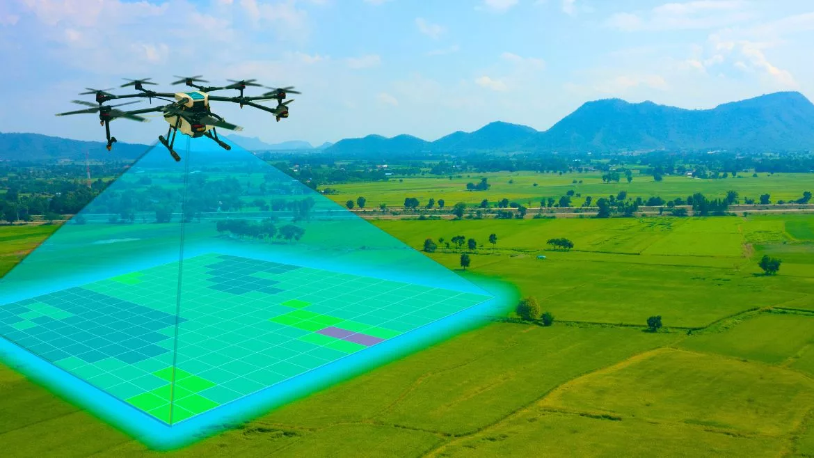
High-Resolution Data Collection: Equipped with advanced sensors and imaging technology, drones can capture high-resolution thermal and RGB imagery. This data is crucial for identifying heat anomalies and other geothermal indicators that might not be visible from the ground. For instance, a study from New Zealand demonstrated the use of drones equipped with thermal cameras to map the Waikite geothermal area, capturing detailed thermal images that assist in understanding geothermal processes and structures.
Cost-Effectiveness and Efficiency: Drones reduce the time and expense associated with geothermal exploration. They can cover large areas quickly, generating comprehensive data sets that provide valuable insights into the geothermal potential of a site without the need for extensive ground surveys.
Continuous Monitoring: Drones offer the capability for ongoing monitoring of geothermal sites, which is essential for assessing the health and stability of geothermal fields. This real-time monitoring helps in the early detection of changes in geothermal activity, allowing for timely interventions to mitigate risks associated with geothermal drilling and production.
Opportunities for the Drilling Industry
The integration of drone technology into geothermal energy exploration not only optimizes the drilling process but also opens up new avenues for growth within the industry. Using drones presently has its many perks, but did you know that the future with drone technology in geothermal is even brighter? Here are a few ways that drones could quite literally expand the field and its accessibility in the future:
Site Selection and Pre-Drilling Assessments: Before drilling operations commence, drones can be used to conduct preliminary surveys to determine the most suitable drilling sites. This preparatory step ensures that drilling efforts are focused on areas with the highest geothermal potential, thereby maximizing resource utilization.
Environmental Impact Assessments: Drones can help assess the environmental impact of drilling operations by providing detailed before-and-after imagery of the landscape. This is crucial for ensuring compliance with environmental regulations and minimizing drilling activities' ecological footprint.
Operational Transparency and Reporting: The detailed data collected by drones can be used to enhance transparency in drilling operations. This information can be shared with stakeholders, including regulatory bodies, investors, and local communities, to demonstrate compliance and operational integrity.
Training and Development: The data and images captured by drones also serve as valuable educational tools for training new drillers and engineers. By studying real-world conditions and scenarios, trainees can better understand the geophysical dynamics of geothermal fields.
Knowing all of this information, it’s clear to see that drones have the opportunity to play a crucial role in the geothermal drilling field. When embraced, drones can not just make present-day operations easier but also grow and enhance the geothermal drilling community as a whole through accessibility and visibility.
As the geothermal energy sector continues to expand, the role of drones in ensuring the safe, efficient, and sustainable development of geothermal resources becomes increasingly important. By adopting drone technology, drilling companies not only enhance their operational capabilities but also contribute to the broader goal of advancing renewable energy technologies. The future of geothermal drilling is poised for transformation, with drones at the forefront of this exciting evolution—now that’s something worth ‘droning’ on about.
Looking for a reprint of this article?
From high-res PDFs to custom plaques, order your copy today!


